
Schist Lake topographic map
Interactive map
Click on the map to display elevation.
About this map
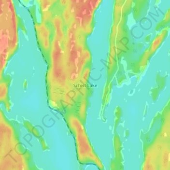
Name: Schist Lake topographic map, elevation, terrain.
Location: Schist Lake, Manitoba, Canada (54.64667 -101.80333 54.68667 -101.76333)
Average elevation: 302 m
Minimum elevation: 287 m
Maximum elevation: 331 m