
Gilbertsville topographic map
Interactive map
Click on the map to display elevation.
About this map
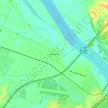
Name: Gilbertsville topographic map, elevation, terrain.
Location: Gilbertsville, Marshall County, Kentucky, United States (37.00450 -88.31976 37.04450 -88.27976)
Average elevation: 104 m
Minimum elevation: 92 m
Maximum elevation: 128 m
Other topographic maps
Click on a map to view its topography, its elevation and its terrain.