
Khao Phra Ngam topographic map
Interactive map
Click on the map to display elevation.
About this map
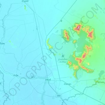
Name: Khao Phra Ngam topographic map, elevation, terrain.
Location: Khao Phra Ngam, Lop Buri Province, Thailand (14.72547 100.46918 15.04547 100.78918)
Average elevation: 41 m
Minimum elevation: 5 m
Maximum elevation: 620 m