
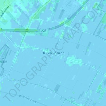
Hei- en Boeicop topographic map
Interactive map
Click on the map to display elevation.
About this map
Name: Hei- en Boeicop topographic map, elevation, terrain.
Location: Hei- en Boeicop, Südholland, Niederlande, 4126, Niederlande (51.92711 5.05092 51.96711 5.09092)
Average elevation: 0 m
Minimum elevation: -3 m
Maximum elevation: 4 m