
Emstek topographic map
Interactive map
Click on the map to display elevation.
About this map
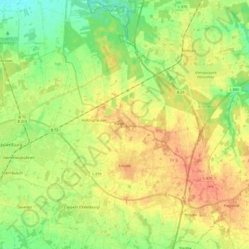
Name: Emstek topographic map, elevation, terrain.
Location: Emstek, Landkreis Cloppenburg, Lower Saxony, 49685, Germany (52.78614 8.08691 52.92880 8.25871)
Average elevation: 46 m
Minimum elevation: 24 m
Maximum elevation: 69 m