
Bournens topographic map
Interactive map
Click on the map to display elevation.
About this map
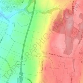
Name: Bournens topographic map, elevation, terrain.
Location: Bournens, District du Gros-de-Vaud, Waadt, 1035, Schweiz (46.59792 6.54844 46.62006 6.58094)
Average elevation: 558 m
Minimum elevation: 480 m
Maximum elevation: 622 m