
Rambura topographic map
Interactive map
Click on the map to display elevation.
About this map
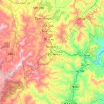
Name: Rambura topographic map, elevation, terrain.
Location: Rambura, Nyabihu, Western Province, Rwanda (-1.71486 29.43640 -1.65453 29.55946)
Average elevation: 2,399 m
Minimum elevation: 1,917 m
Maximum elevation: 2,866 m