
卓君庙 topographic map
Interactive map
Click on the map to display elevation.
About this map
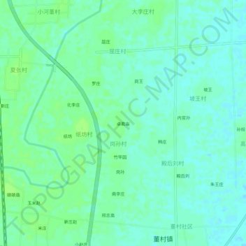
Name: 卓君庙 topographic map, elevation, terrain.
Location: 卓君庙, 岗孙村, 长葛市, 许昌市, 河南省, 中国 (34.22701 113.89947 34.26701 113.93947)
Average elevation: 82 m
Minimum elevation: 77 m
Maximum elevation: 86 m