Geolocate

Torre Colimena topographic map

Click on the map to display elevation.

About this map

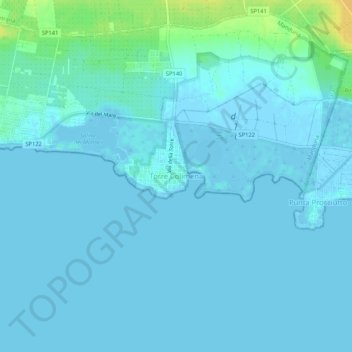
Name: Torre Colimena topographic map, elevation, terrain.

Location: Torre Colimena, Manduria, Taranto, Apulia, Italy (40.27755 17.72493 40.31755 17.76493)

Average elevation: 3 m

Minimum elevation: -6 m

Maximum elevation: 25 m

Gear up for your next adventure:

📕Outdoor Navigation Books - Learn traditional and modern navigation techniques
🧤Waterproof Overmitts - Extreme weather protection for hikers and mountaineers
🔋Rechargeable Batteries - Eco-friendly power for headlamps and older GPS units
🗺️Ordnance Survey Maps - Essential paper maps for hiking across the UK national parks
🍱Food Containers - Reusable containers for outdoor meals

As an Amazon Associate, this site earns from qualifying purchases at no extra cost to you.