
Zango Urban topographic map
Interactive map
Click on the map to display elevation.
About this map
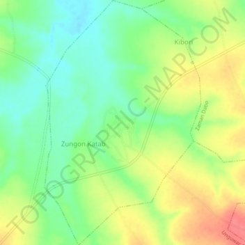
Name: Zango Urban topographic map, elevation, terrain.
Location: Zango Urban, Zangon Kataf, Kaduna State, Nigeria (9.81671 8.39355 9.85678 8.41953)
Average elevation: 775 m
Minimum elevation: 746 m
Maximum elevation: 813 m