
Hughenden topographic map
Interactive map
Click on the map to display elevation.
About this map
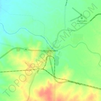
Name: Hughenden topographic map, elevation, terrain.
Location: Hughenden, Flinders Shire, Queensland, Australia (-20.88224 144.16029 -20.80224 144.24029)
Average elevation: 322 m
Minimum elevation: 305 m
Maximum elevation: 347 m