
Spring Hollow topographic map
Interactive map
Click on the map to display elevation.
About this map
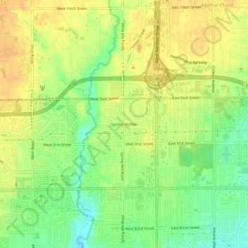
Name: Spring Hollow topographic map, elevation, terrain.
Location: Spring Hollow, Marion County, Indiana, 46074:46260, VS (39.90282 -86.18471 39.94282 -86.14471)
Average elevation: 252 m
Minimum elevation: 233 m
Maximum elevation: 264 m