
Allende topographic map
Interactive map
Click on the map to display elevation.
About this map
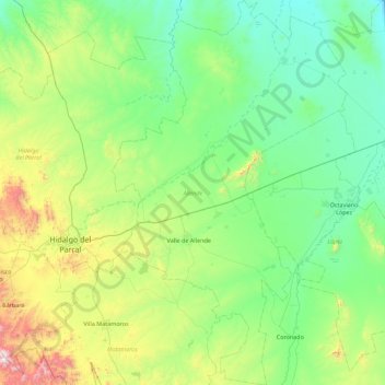
Name: Allende topographic map, elevation, terrain.
Location: Allende, Chihuahua, 33920, Mexique (26.63820 -105.57216 27.43139 -105.02752)
Average elevation: 1,608 m
Minimum elevation: 1,317 m
Maximum elevation: 2,685 m
Other topographic maps
Click on a map to view its topography, its elevation and its terrain.
Los Hornitos
Mexique > Chihuahua > Los Hornitos
Los Hornitos, Riva Palacio, Chihuahua, Mexique
Average elevation: 1,828 m