
Co Rock topographic map
Click on the map to display elevation.
About this map
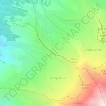
Name: Co Rock topographic map, elevation, terrain.
Average elevation: 2,159 m
Minimum elevation: 1,456 m
Maximum elevation: 3,368 m
Other topographic maps
Click on a map to view its topography, its elevation and its terrain.
Hood River
United States > Oregon > Hood River County
Temperatures for the year as a whole are slightly cooler than in most other low-elevation towns in the region, especially at night because of air drainage off the surrounding mountains.
Average elevation: 112 m
Wyeth State Recreation Area
United States > Oregon > Hood River County > Cascade Locks
Average elevation: 163 m