
Hopland topographic map
Interactive map
Click on the map to display elevation.
About this map
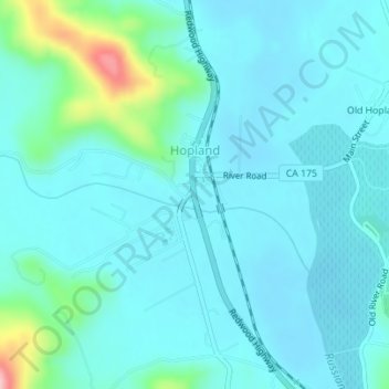
Name: Hopland topographic map, elevation, terrain.
Location: Hopland, Mendocino County, California, United States (38.96334 -123.12672 38.97641 -123.11028)
Average elevation: 165 m
Minimum elevation: 139 m
Maximum elevation: 314 m
Hopland (formerly Sanel) is a census-designated place in Mendocino County, California, United States. It is located on the west bank of the Russian River 13 miles (21 km) south-southeast of Ukiah, in the Sanel Valley, at an elevation of 502 feet (153 m). The population was 661 at the 2020 census, down from 756 at the 2010 census.