
Ludlow topographic map
Interactive map
Click on the map to display elevation.
About this map
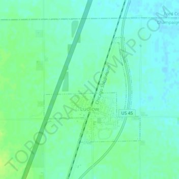
Name: Ludlow topographic map, elevation, terrain.
Location: Ludlow, Champaign County, Illinois, United States (40.38191 -88.13657 40.39774 -88.11754)
Average elevation: 233 m
Minimum elevation: 227 m
Maximum elevation: 241 m