
Kurmi topographic map
Interactive map
Click on the map to display elevation.
About this map
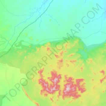
Name: Kurmi topographic map, elevation, terrain.
Location: Kurmi, Ningi, Bauchi State, Nigeria (10.97737 8.96653 11.22848 9.27921)
Average elevation: 659 m
Minimum elevation: 486 m
Maximum elevation: 1,172 m