
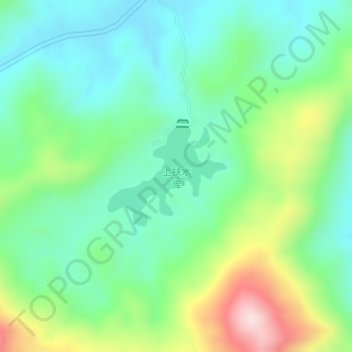
上扶水库 topographic map
Interactive map
Click on the map to display elevation.
About this map
Name: 上扶水库 topographic map, elevation, terrain.
Location: 上扶水库, 湘乡市, 湘潭市, 湖南省, 中国 (27.92548 112.34727 27.93316 112.35764)
Average elevation: 222 m
Minimum elevation: 112 m
Maximum elevation: 474 m
Other topographic maps
Click on a map to view its topography, its elevation and its terrain.