
Wells topographic map
Interactive map
Click on the map to display elevation.
About this map
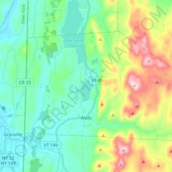
Name: Wells topographic map, elevation, terrain.
Location: Wells, Rutland County, Vermont, 05774, United States (43.40404 -73.25075 43.46586 -73.11906)
Average elevation: 254 m
Minimum elevation: 109 m
Maximum elevation: 630 m