
Kampung Temoyong topographic map
Interactive map
Click on the map to display elevation.
About this map
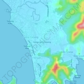
Name: Kampung Temoyong topographic map, elevation, terrain.
Location: Kampung Temoyong, Pantai Cenang, Langkawi, Kedah, Malaysia (6.26897 99.71455 6.30897 99.75455)
Average elevation: 17 m
Minimum elevation: -1 m
Maximum elevation: 177 m