Geolocate

Vincent topographic map

Click on the map to display elevation.

About this map

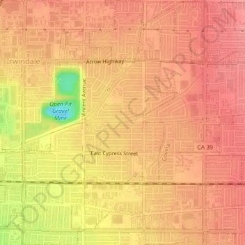
Name: Vincent topographic map, elevation, terrain.

Location: Vincent, West Covina, Los Angeles County, California, 91772, United States (34.08471 -117.94206 34.11438 -117.90758)

Average elevation: 146 m

Minimum elevation: 81 m

Maximum elevation: 167 m

Gear up for your next adventure:

🚲Bikepacking Frame Bags - Storage for tools and navigation gear on long off-road rides
Lightweight Tents - Compact tents for backpacking and trekking
🥾Walking Shoes - Lightweight walking shoes for countryside and coastal paths
🧴Sport Sunscreen Sticks - High-protection sunblock that won't run into your eyes on the trail
🧢Hiking Hats - Sun and weather protection for outdoor walks

As an Amazon Associate, this site earns from qualifying purchases at no extra cost to you.