
Phu Kradueng topographic map
Interactive map
Click on the map to display elevation.
About this map
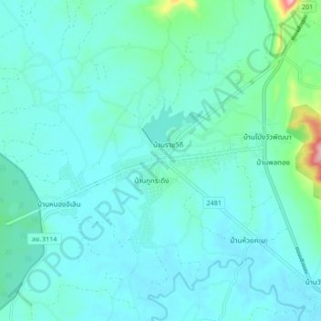
Name: Phu Kradueng topographic map, elevation, terrain.
Location: Phu Kradueng, Loei Province, 42180, Thailand (16.84621 101.84645 16.92621 101.92645)
Average elevation: 264 m
Minimum elevation: 236 m
Maximum elevation: 447 m