
Windlach topographic map
Interactive map
Click on the map to display elevation.
About this map
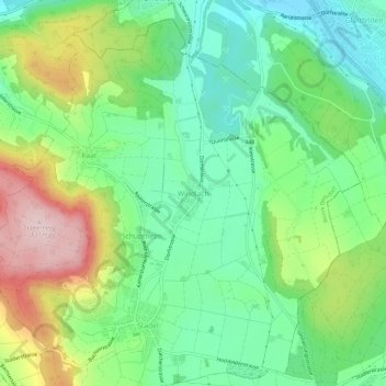
Name: Windlach topographic map, elevation, terrain.
Location: Windlach, Stadel, Bezirk Dielsdorf, Zürich, 8175, Schweiz (47.52177 8.45455 47.56177 8.49455)
Average elevation: 455 m
Minimum elevation: 350 m
Maximum elevation: 647 m