
Bargawa Tunga topographic map
Interactive map
Click on the map to display elevation.
About this map
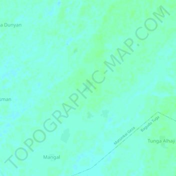
Name: Bargawa Tunga topographic map, elevation, terrain.
Location: Bargawa Tunga, Bagudo, Kebbi State, 871, Nigeria (11.42012 4.21915 11.46012 4.25915)
Average elevation: 155 m
Minimum elevation: 152 m
Maximum elevation: 159 m