
Baurup topographic map
Interactive map
Click on the map to display elevation.
About this map
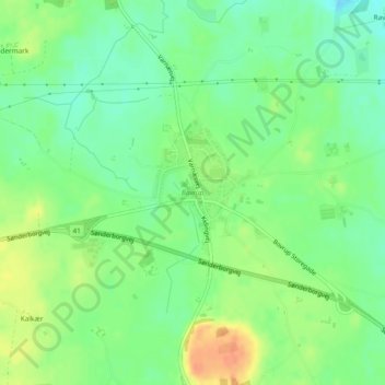
Name: Baurup topographic map, elevation, terrain.
Location: Baurup, Kommune Apenrade, Region Süddänemark, Dänemark (54.99200 9.57646 55.00059 9.58916)
Average elevation: 39 m
Minimum elevation: 22 m
Maximum elevation: 62 m