
Lena topographic map
Interactive map
Click on the map to display elevation.
About this map
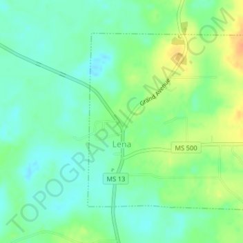
Name: Lena topographic map, elevation, terrain.
Location: Lena, Leake County, Mississippi, United States (32.58406 -89.60578 32.60373 -89.58370)
Average elevation: 112 m
Minimum elevation: 98 m
Maximum elevation: 134 m