
北塔街道 topographic map
Interactive map
Click on the map to display elevation.
About this map
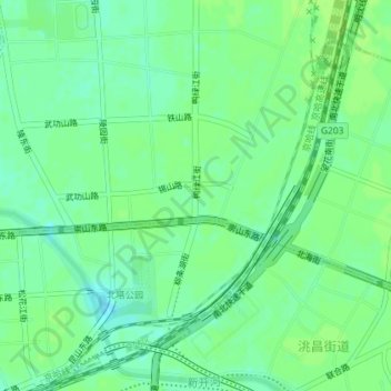
Name: 北塔街道 topographic map, elevation, terrain.
Location: 北塔街道, 皇姑区, 沈阳市, 辽宁省, 中国 (41.82162 123.43312 41.84444 123.46374)
Average elevation: 53 m
Minimum elevation: 46 m
Maximum elevation: 56 m