
Boher topographic map
Interactive map
Click on the map to display elevation.
About this map
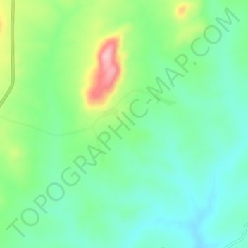
Name: Boher topographic map, elevation, terrain.
Location: Boher, Akwanga, Nasarawa State, Nigeria (8.99667 8.39667 9.03667 8.43667)
Average elevation: 471 m
Minimum elevation: 419 m
Maximum elevation: 590 m