
Ronda topographic map
Interactive map
Click on the map to display elevation.
About this map
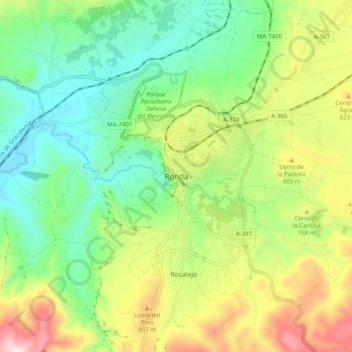
Name: Ronda topographic map, elevation, terrain.
Location: Ronda, Serranía de Ronda, Malaga, Andalousie, 29400, Espagne (36.70213 -5.20659 36.78213 -5.12659)
Average elevation: 679 m
Minimum elevation: 453 m
Maximum elevation: 1,078 m