
Thank you for supporting this site ❤️
Make a donation
Make a donation
Gear up for your next adventure:
As an Amazon Associate, this site earns from qualifying purchases at no extra cost to you.
Kayaga topographic map
Click on the map to display elevation.
Thank you for supporting this site ❤️
Make a donation
Make a donation
Gear up for your next adventure:
As an Amazon Associate, this site earns from qualifying purchases at no extra cost to you.
About this map
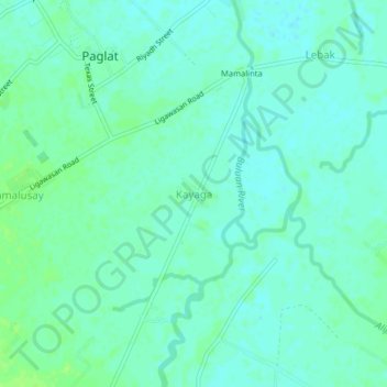
Name: Kayaga topographic map, elevation, terrain.
Location: Kayaga, Maguindanao, Bangsamoro, 9632, Philippines (6.74634 124.77487 6.78634 124.81487)
Average elevation: 13 m
Minimum elevation: 8 m
Maximum elevation: 20 m
Thank you for supporting this site ❤️
Make a donation
Make a donation
Gear up for your next adventure:
As an Amazon Associate, this site earns from qualifying purchases at no extra cost to you.