
Tamezret topographic map
Interactive map
Click on the map to display elevation.
About this map
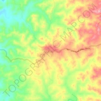
Name: Tamezret topographic map, elevation, terrain.
Location: Tamezret, تمزرط, معتمدية مطماطة, Gabès, Tunisia (33.51630 9.84631 33.55630 9.88631)
Average elevation: 408 m
Minimum elevation: 334 m
Maximum elevation: 478 m