
Gros-Fays topographic map
Interactive map
Click on the map to display elevation.
About this map
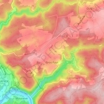
Name: Gros-Fays topographic map, elevation, terrain.
Location: Gros-Fays, Bièvre, Dinant, Namen, Wallonië, België (49.85866 4.94424 49.88952 5.01606)
Average elevation: 347 m
Minimum elevation: 180 m
Maximum elevation: 431 m