
Fotoș topographic map
Interactive map
Click on the map to display elevation.
About this map
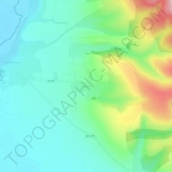
Name: Fotoș topographic map, elevation, terrain.
Location: Fotoș, Covasna, 527097, Roménia (45.87875 25.84783 45.91875 25.88783)
Average elevation: 599 m
Minimum elevation: 528 m
Maximum elevation: 781 m
Other topographic maps
Click on a map to view its topography, its elevation and its terrain.