
Changjin County topographic map
Interactive map
Click on the map to display elevation.
About this map
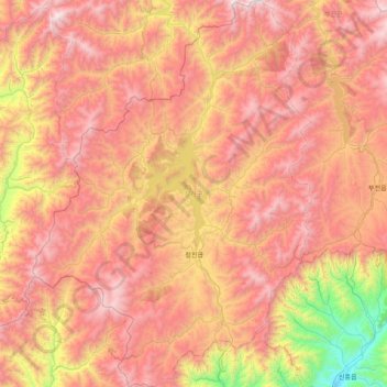
Name: Changjin County topographic map, elevation, terrain.
Location: Changjin County, South Hamgyong, North Korea (40.17499 126.90953 40.78050 127.48460)
Average elevation: 1,316 m
Minimum elevation: 97 m
Maximum elevation: 2,345 m