
Glaston topographic map
Interactive map
Click on the map to display elevation.
About this map
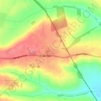
Name: Glaston topographic map, elevation, terrain.
Location: Glaston, Rutland, England, United Kingdom (52.58358 -0.69188 52.60754 -0.65215)
Average elevation: 95 m
Minimum elevation: 50 m
Maximum elevation: 133 m
Other topographic maps
Click on a map to view its topography, its elevation and its terrain.