
Markelo topographic map
Interactive map
Click on the map to display elevation.
About this map
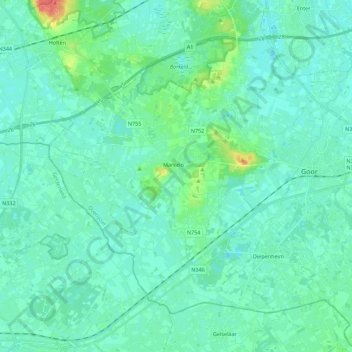
Name: Markelo topographic map, elevation, terrain.
Location: Markelo, Hof van Twente, Overijssel, Netherlands (52.17714 6.41631 52.28350 6.63863)
Average elevation: 15 m
Minimum elevation: 7 m
Maximum elevation: 54 m
Other topographic maps
Click on a map to view its topography, its elevation and its terrain.