
Cerro Beata topographic map
Interactive map
Click on the map to display elevation.
About this map
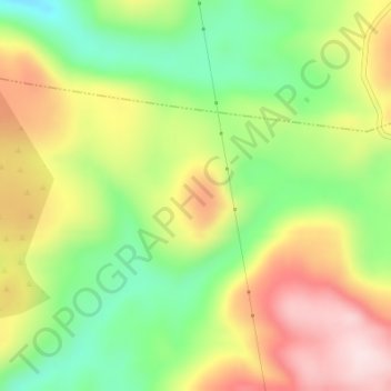
Name: Cerro Beata topographic map, elevation, terrain.
Location: Cerro Beata, Valdepeñas de Jaén, Jaén, Andalucía, España (37.62428 -3.86336 37.64428 -3.84336)
Average elevation: 1,125 m
Minimum elevation: 970 m
Maximum elevation: 1,301 m