
Kindelbrück topographic map
Interactive map
Click on the map to display elevation.
About this map
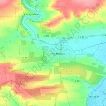
Name: Kindelbrück topographic map, elevation, terrain.
Location: Kindelbrück, Landkreis Sömmerda, Thüringen, Deutschland (51.24272 11.05344 51.28021 11.13882)
Average elevation: 172 m
Minimum elevation: 129 m
Maximum elevation: 232 m