
Kalam topographic map
Interactive map
Click on the map to display elevation.
About this map
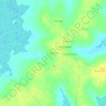
Name: Kalam topographic map, elevation, terrain.
Location: Kalam, Sector de Cacheu, Cacheu Region, North, Guinea-Bissau (12.09523 -16.20474 12.13523 -16.16474)
Average elevation: 12 m
Minimum elevation: 1 m
Maximum elevation: 26 m