
May topographic map
Interactive map
Click on the map to display elevation.
About this map
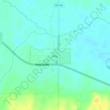
Name: May topographic map, elevation, terrain.
Location: May, Harper County, Oklahoma, États-Unis d'Amérique (36.61503 -99.75498 36.61938 -99.74261)
Average elevation: 626 m
Minimum elevation: 619 m
Maximum elevation: 643 m