
Gondang Wetan topographic map
Interactive map
Click on the map to display elevation.
About this map
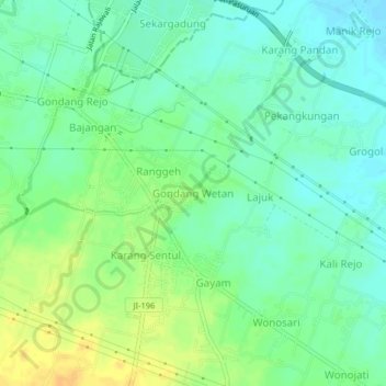
Name: Gondang Wetan topographic map, elevation, terrain.
Location: Gondang Wetan, Pasuruan, East Java, Java, 67118, Indonesia (-7.71812 112.88567 -7.67812 112.92567)
Average elevation: 18 m
Minimum elevation: 6 m
Maximum elevation: 35 m
Other topographic maps
Click on a map to view its topography, its elevation and its terrain.