
Ondon Peak topographic map
Interactive map
Click on the map to display elevation.
About this map
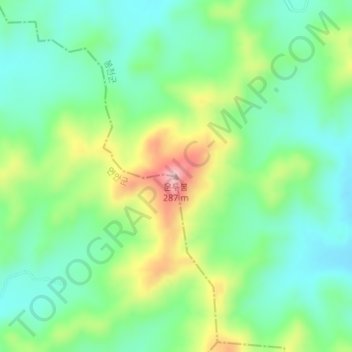
Name: Ondon Peak topographic map, elevation, terrain.
Location: Ondon Peak, Pongchon County, South Hwanghae, North Korea (38.07160 126.12650 38.07170 126.12660)
Average elevation: 139 m
Minimum elevation: 68 m
Maximum elevation: 284 m