
ดอยนางนอน topographic map
Interactive map
Click on the map to display elevation.
About this map
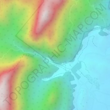
Name: ดอยนางนอน topographic map, elevation, terrain.
Location: ดอยนางนอน, เชียงราย, จังหวัดเชียงราย, Thailand (20.35689 99.85299 20.35699 99.85309)
Average elevation: 719 m
Minimum elevation: 421 m
Maximum elevation: 1,289 m