
Opstead topographic map
Interactive map
Click on the map to display elevation.
About this map
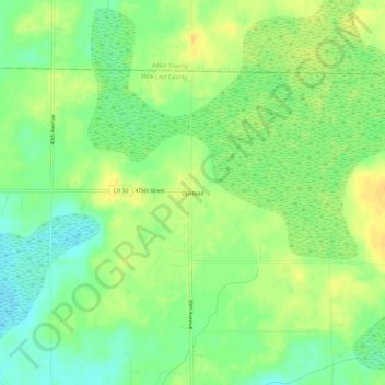
Name: Opstead topographic map, elevation, terrain.
Location: Opstead, Mille Lacs County, Minnesota, États-Unis d'Amérique (46.21384 -93.49218 46.25384 -93.45218)
Average elevation: 396 m
Minimum elevation: 382 m
Maximum elevation: 408 m