
Dutovlje topographic map
Interactive map
Click on the map to display elevation.
About this map
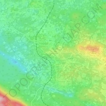
Name: Dutovlje topographic map, elevation, terrain.
Location: Dutovlje, Sežana, Upravna enota Sežana, 6221, Slovenia (45.73565 13.81263 45.77565 13.85263)
Average elevation: 291 m
Minimum elevation: 212 m
Maximum elevation: 447 m