
Camargo topographic map
Interactive map
Click on the map to display elevation.
Camargo
Camargo is the capital of Nor Cinti Province and is situated in Camargo Municipio, embedded between north-southerly mountain ridges, at an elevation of 2,414 m, on the banks of Río Chico which later becomes Río Pilaya.
About this map
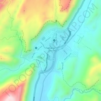
Name: Camargo topographic map, elevation, terrain.
Average elevation: 2,499 m
Minimum elevation: 2,389 m
Maximum elevation: 2,718 m
Other topographic maps
Click on a map to view its topography, its elevation and its terrain.