
Parque de Las Quinceañeras topographic map
Interactive map
Click on the map to display elevation.
About this map
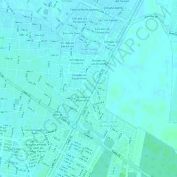
Name: Parque de Las Quinceañeras topographic map, elevation, terrain.
Average elevation: 7 m
Minimum elevation: 5 m
Maximum elevation: 10 m
Other topographic maps
Click on a map to view its topography, its elevation and its terrain.
Parque Paraiso Maya (GoRaids Altabrisa Norte)
México > Yucatán > Mérida > Mérida
Parque Paraiso Maya (GoRaids Altabrisa Norte), Mérida, Yucatán, México
Average elevation: 9 m
Parque Gran San Pedro Cholul
México > Yucatán > Mérida > Mérida
Parque Gran San Pedro Cholul, Mérida, Yucatán, México
Average elevation: 9 m