
Yuscarán topographic map
Interactive map
Click on the map to display elevation.
About this map
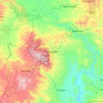
Name: Yuscarán topographic map, elevation, terrain.
Location: Yuscarán, El Paraíso, Honduras (13.78131 -87.01221 14.10131 -86.69221)
Average elevation: 905 m
Minimum elevation: 321 m
Maximum elevation: 1,937 m