
Biddenden topographic map
Interactive map
Click on the map to display elevation.
About this map
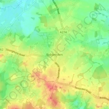
Name: Biddenden topographic map, elevation, terrain.
Location: Biddenden, Kent, South East, England, TN27 8AH, United Kingdom (51.09536 0.62286 51.13536 0.66286)
Average elevation: 48 m
Minimum elevation: 23 m
Maximum elevation: 79 m