
Dundurn topographic map
Interactive map
Click on the map to display elevation.
About this map
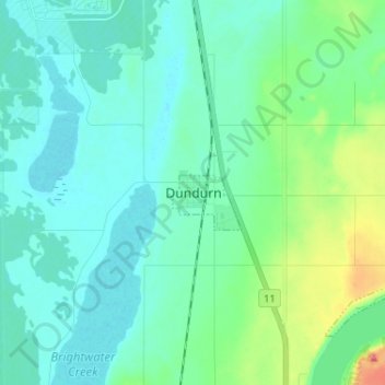
Name: Dundurn topographic map, elevation, terrain.
Location: Dundurn, Census Division No. 11, Saskatchewan, Canada (51.76956 -106.54717 51.84956 -106.46717)
Average elevation: 534 m
Minimum elevation: 515 m
Maximum elevation: 615 m